

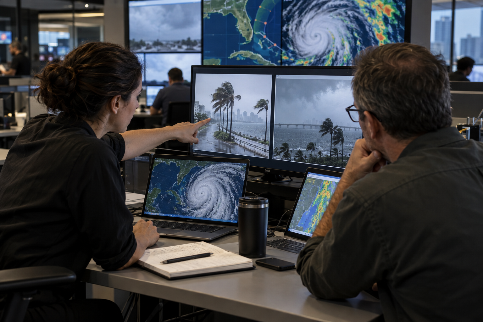
Disaster Image Verification Explainer
Major storms, earthquakes, fires, and floods generate a flood of dramatic images, including old material reposted as new and synthetic or altered scenes. Newsrooms begin with provenance: who created the image, how the newsroom obtained it, and whether the original file is available. They preserve the earliest known post and avoid assuming that a widely shared caption came from the person who recorded the scene.
Location is tested through roads, terrain, buildings, signs, utility structures, coastlines, and other visible features. Reporters compare them with maps, satellite imagery, street-level references, and photographs from before the disaster. A single resemblance is not enough. Several features should align in the correct order and perspective, and investigators should consider whether the image has been mirrored or cropped.
Timing requires separate evidence. Journalists examine upload history, daylight, shadows, weather observations, fire progression, river levels, emergency alerts, and known damage. Metadata can help when an original file is available, but it may be missing or altered. An authentic image from the correct place can still be months or years old, so location and date are never treated as the same question.
Damage patterns can be misunderstood. Perspective may make water appear deeper, smoke may obscure intact structures, and a photograph may show one exceptional block rather than an entire city. Newsrooms consult local reporters, emergency officials, engineers, meteorologists, or geologists when interpretation requires expertise. They compare independent images and avoid estimating casualties or causes from visuals alone.
Safety and dignity shape publication. Images may reveal victims, private homes, evacuation routes, or the location of vulnerable people. Editors crop or withhold material when harm outweighs its information value and avoid repeatedly displaying graphic scenes. They contact creators for permission when required, credit accurately, and warn audiences about disturbing content. Verification does not automatically make every image appropriate to publish.
A transparent caption states who provided the material, where and when it was recorded, and how the newsroom verified it. If only a region or approximate time can be established, the wording reflects that limit. Disaster verification is most reliable when technical clues, official data, local knowledge, and independent visuals converge. Speed matters during emergencies, but a false image can divert help, spread panic, and damage trust when accurate information is most needed.
Metadata can support a conclusion, but it may be missing or altered and should be checked against weather, upload history, and visible evidence.
Multiple matching features in the correct spatial relationship are much stronger than one object that merely looks familiar.
No. Editors still consider privacy, graphic content, safety, copyright, and whether the image adds necessary information.
Explore more "Explainers"
Discover additional explainers across politics, science, business, technology, and other fields. Each explainer breaks down a complex idea into clear, everyday language—helping you better understand how major concepts, systems, and debates shape the world around us.