

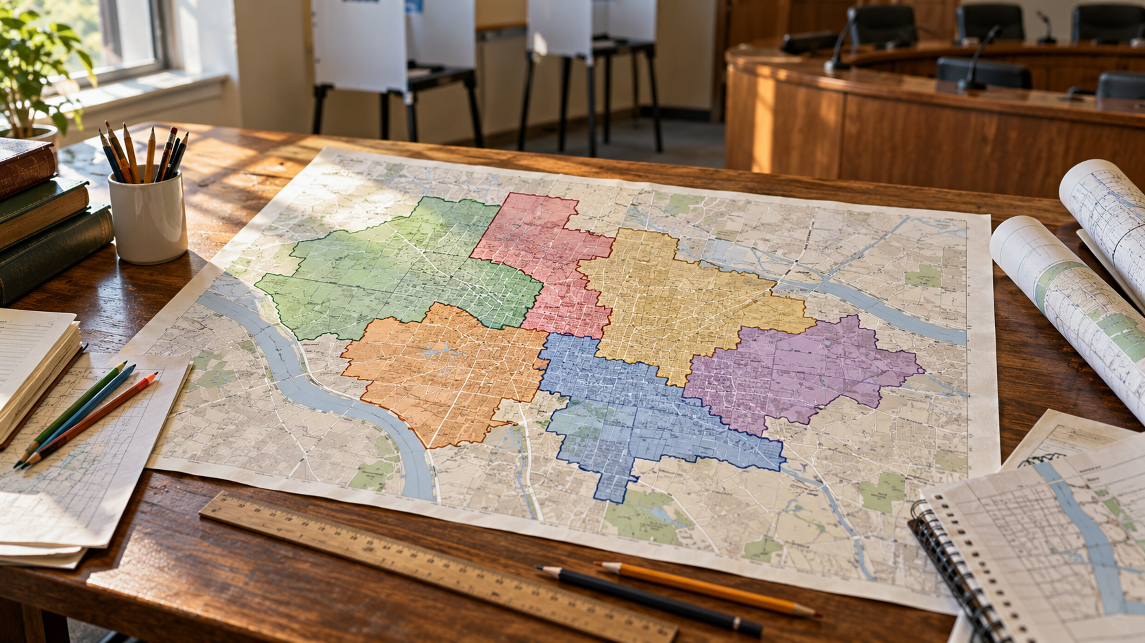
Redistricting Explainer
Redistricting is the process of drawing the boundaries of electoral districts. A district groups people who elect a particular representative, so its lines help determine which voters share a political voice. In the United States, congressional and state legislative maps are generally redrawn after the decennial census to reflect population changes. Redistricting differs from reapportionment: reapportionment distributes House seats among states, while redistricting determines where districts sit within a state. A state can redraw its map even when its total number of seats stays the same.
Mapmakers work with population data and legal requirements, then decide how to group neighborhoods, towns, and other communities. Congressional districts within a state must be as nearly equal in population as practicable, while state legislative districts use a substantially equal population standard. Federal protections against racial discrimination also apply. State rules may add requirements involving compactness, contiguous territory, political subdivisions, or communities of interest. These priorities can pull in different directions: preserving a town boundary may make it harder to balance population or keep a district geographically compact.
The authority to draw maps varies. Some states rely on their legislatures; others use commissions with differing membership and powers. Courts can become involved when a plan violates applicable law or when the normal process fails. Public hearings and published draft maps can help residents explain which communities belong together. But a map that looks tidy is not automatically fair, and an irregular outline is not automatically unlawful. Geography, population patterns, legal standards, and the choices available to the mapmakers all matter.
Redistricting attracts political conflict because the same voters can produce different seat outcomes under different maps. Gerrymandering describes drawing lines to advantage a political group, often by concentrating opponents in a few districts or dividing them among many. Evaluating a plan requires more than looking at its shape: the relevant question is how the lines affect representation and comply with the governing rules. Understanding who draws the map, what criteria apply, and how challenges are reviewed makes the debate easier to assess.
Census data provide a population baseline, but mapmaking also requires decisions about geography and communities.
Apportionment counts seats for states; redistricting draws the districts where voters choose representatives.
A legislature, commission, or court may produce a map, depending on the jurisdiction and circumstances.
Residents can compare draft boundaries with school districts, transport links, and shared local concerns.
Equal population and protections against racial discrimination constrain the choices mapmakers can make.
A district's outline alone cannot establish whether a plan satisfies every legal and representational standard.
Explore more "Explainers"
Discover additional explainers across politics, science, business, technology, and other fields. Each explainer breaks down a complex idea into clear, everyday language—helping you better understand how major concepts, systems, and debates shape the world around us.