

How the Jet Stream Forms and Steers Weather Explainer
A jet stream is a relatively narrow band of strong wind near the top of the troposphere, often around the cruising altitude of high-flying aircraft. The major jets generally blow from west to east and form near boundaries between warm and cold air masses. They are broad, deep currents with a faster core, not thin tubes or fixed lines painted across the sky.
Temperature differences create pressure differences aloft. A column of warm air expands and has greater thickness between pressure levels than a cold column. The resulting horizontal pressure-gradient force accelerates air from high toward low pressure. As the air moves, Earth’s rotation turns its path through the Coriolis effect until the wind flows mostly along pressure contours rather than straight across them.
The strongest temperature contrasts tend to occur near the polar front and in the subtropics, helping create polar and subtropical jets in each hemisphere. The contrasts and circulation shift with the seasons, so jets are commonly stronger and farther toward the equator in winter and weaker and poleward in summer. Land, ocean, mountains, and large weather systems add regional structure.
Jet streams meander in large waves. Ridges bulge poleward and troughs dip equatorward, while smaller disturbances can grow into surface high- and low-pressure systems. Divergence and convergence in the upper-level flow can encourage air to rise or sink below, affecting clouds, precipitation, and storm development. The jet does not single-handedly cause every weather event, but it organizes favorable pathways.
A strong, relatively straight jet can move weather systems quickly. A wavier or blocked pattern can slow them, allowing heat, cold, rain, or drought to persist. Individual outcomes depend on moisture, surface conditions, ocean patterns, topography, and the exact three-dimensional flow. Statements that one jet shape guarantees one local event oversimplify a probabilistic atmosphere.
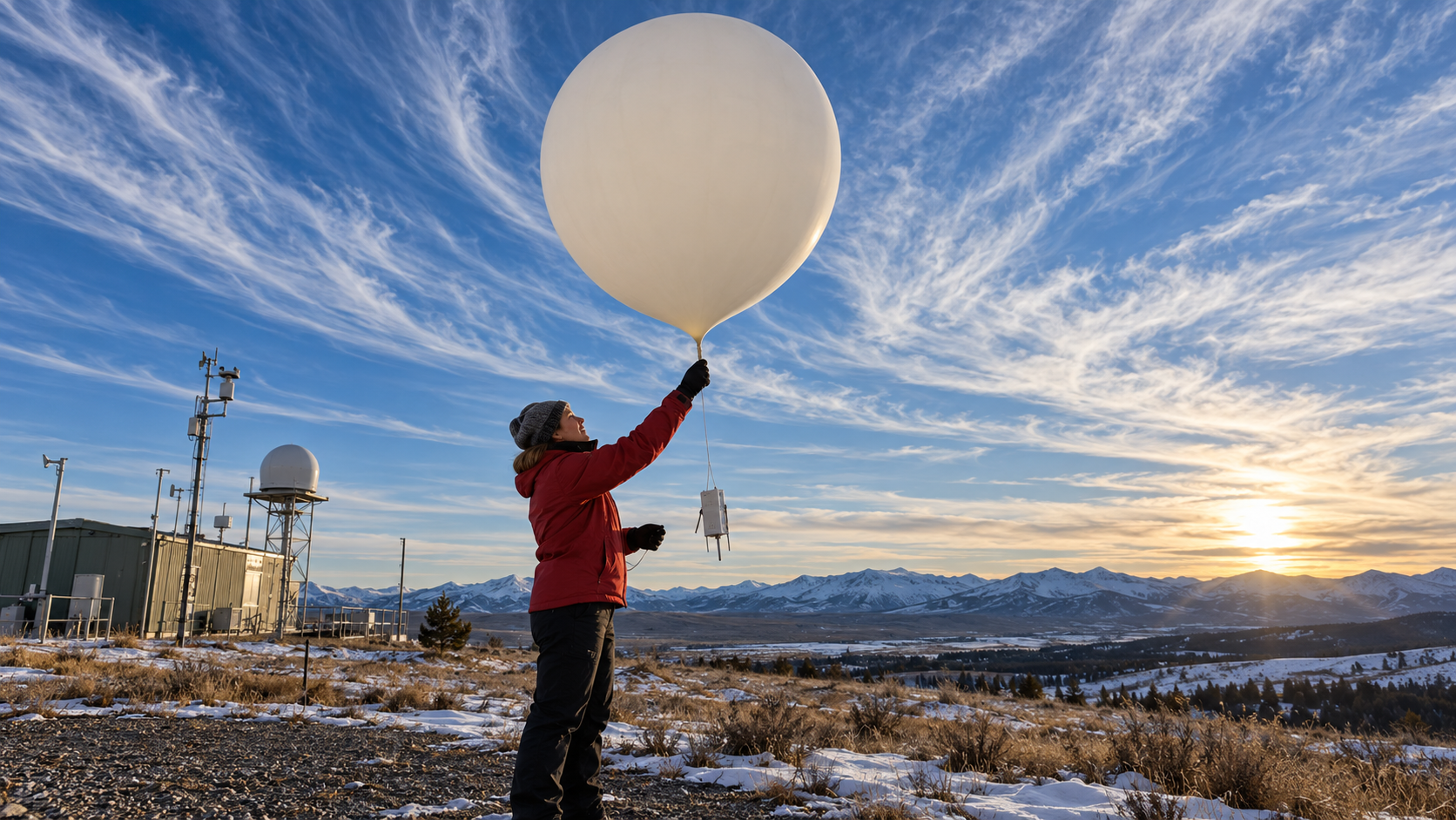
Meteorologists map the jet with weather balloons, aircraft observations, satellites, and numerical models, often examining winds on constant-pressure surfaces. Forecasts track how the band and embedded disturbances evolve. Understanding the jet stream connects planetary-scale temperature contrasts to day-to-day storm tracks while explaining why weather patterns shift across seasons and from week to week.
Jet streams are broad upper-level wind bands with a fast core, not narrow fixed tubes.
Horizontal temperature contrasts create pressure gradients that accelerate air aloft.
Earth's rotation turns the wind so it tends to follow pressure contours.
Polar and subtropical jets migrate and change strength with seasons and circulation.
Ridges, troughs, convergence, and divergence help organize storm tracks and vertical motion.
Local weather still depends on moisture, terrain, surface conditions, and evolving disturbances.
Explore more "Explainers"
Discover additional explainers across politics, science, business, technology, and other fields. Each explainer breaks down a complex idea into clear, everyday language—helping you better understand how major concepts, systems, and debates shape the world around us.