

LiDAR Distance-Sensing Explainer
LiDAR measures distance with pulses of light. The name is short for light detection and ranging. A sensor sends out a brief laser pulse, detects light that reflects from a surface, and measures the time between the outgoing and returning signals. Because light travels at a known speed, the system can estimate how far away that reflecting surface is. The measured round trip is divided in half because the pulse travels to the object and back.
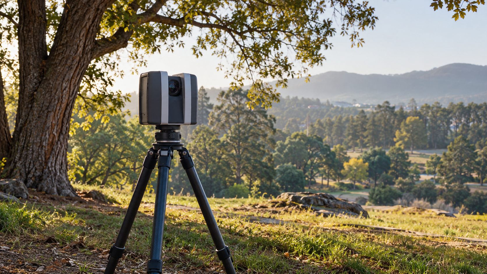
A single range measurement describes only one direction. To build a useful three-dimensional view, a LiDAR system repeatedly sends pulses while scanning across a scene. It also records the direction of each pulse and the sensor’s own position and orientation. A stationary survey scanner might rotate from a tripod. An airborne system pairs a laser scanner with position and motion instruments so it knows where each pulse was aimed while the aircraft moved. The resulting measurements become a collection of spatial points known as a point cloud.
Each point in that cloud represents a place where light reflected back strongly enough for the receiver to detect. When there are many points, the cloud can reveal the shape of terrain, trees, buildings, or other surfaces. Software may color the points by height or reflection strength, filter out unwanted returns, and convert selected layers into elevation models or other maps. The point cloud is not a photograph: it is a measured sample of locations, built from ranges, directions, and sensor position data.
Surfaces affect the quality of a return. A smooth dark surface may reflect little light toward the sensor, while a pale rough surface may return a stronger signal. Vegetation can produce several returns from one pulse as light reaches leaves, branches, and then ground. Water, rain, fog, dust, and reflective glass can complicate measurements in different ways. The system needs calibration and carefully chosen settings because a missing or weak return does not always mean that nothing is present.
LiDAR differs from ordinary cameras because it actively supplies its own measuring light rather than relying only on ambient illumination. It also differs from radar, which uses radio waves instead of laser light. The technology appears in mapping, forestry, industrial inspection, archaeology, robotics, and some vehicle-assistance systems. The scale varies from a handheld scanner mapping a room to an aircraft collecting elevation data across a broad landscape, but the basic timing idea remains the same.
Distance alone is not enough for a dependable map. A system must know exactly when a pulse left, distinguish a real return from noise, account for its scan angle, and keep accurate track of where the instrument was located. In mobile or airborne work, position and orientation errors can shift every point. Analysts also decide how to classify the returns: a tree canopy, a roof, and bare ground may occupy different layers of the same location.
LiDAR is best understood as rapid, repeated time-of-flight measurement. It turns reflected laser pulses into many range estimates, then combines those estimates with direction and position to construct a three-dimensional point cloud. That combination makes it valuable when shape, elevation, or distance matters, while its limits remind users that every point depends on a real optical return and careful interpretation.
Explore more "Explainers"
Discover additional explainers across politics, science, business, technology, and other fields. Each explainer breaks down a complex idea into clear, everyday language—helping you better understand how major concepts, systems, and debates shape the world around us.