

On This Day in Science: May 18, 1980
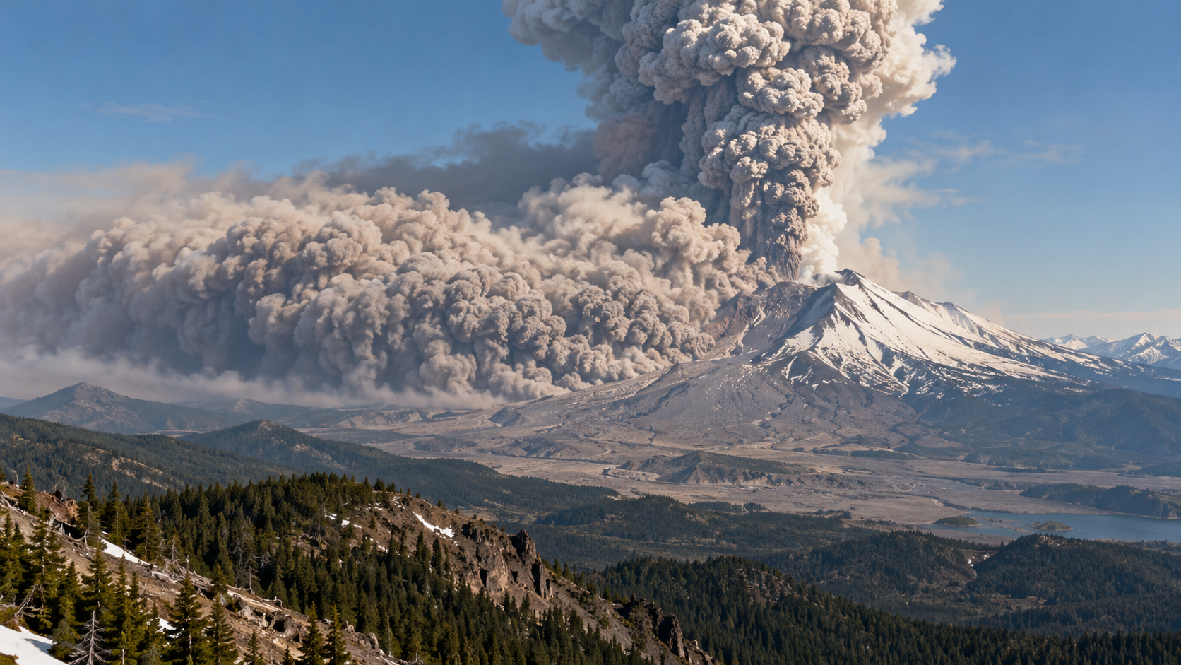
At 8:32 a.m. on May 18, 1980, a magnitude 5.1 earthquake shook Mount St. Helens in Washington. The volcano’s steep, swollen north flank collapsed in a vast debris avalanche, suddenly releasing pressure on the magma below. A lateral blast swept outward, followed by pyroclastic flows, a towering ash column, and lahars that moved through river valleys.
Two months of earthquakes, steam explosions, and rapid bulging had warned that magma was rising, and officials had restricted access. The exact direction and scale of a flank collapse were still difficult to anticipate. USGS volcanologist David Johnston, monitoring from a ridge north of the volcano, was among fifty-seven people killed. Forests, roads, bridges, and habitat were devastated across a broad area.
Ash rose more than twenty kilometers and traveled across the United States, affecting transportation, machinery, agriculture, and water. The eruption removed the summit, opened a north-facing crater, and rearranged river systems with enormous deposits of rock and sediment. Scientists rapidly expanded monitoring of deformation, gas, earthquakes, and lahar hazards as later eruptions rebuilt a lava dome.
Mount St. Helens became one of the most intensively studied eruptions in modern geology. Its record improved volcano-hazard mapping and communication while showing that a familiar conical mountain can fail sideways, not only erupt upward. Seen across a longer timeline, scientific milestones are junctions rather than isolated beginnings. Earlier experiments, tools, and institutions made the work possible, while later teams tested limits and carried the result into new settings. What survives is a traceable chain of evidence, correction, and application that allows one moment to remain relevant as knowledge and technology continue to change. The anniversary highlights the difference between a first result and a finished understanding. A successful observation can settle one question while opening several harder ones, and even a failed objective can reshape later designs. Preserved data, specimens, photographs, and hardware allow new generations to revisit the work with better tools. Science advances through that continuity rather than stopping on a memorable date. Its calendar date is an entry point, not an endpoint. The people involved worked with the instruments, assumptions, and social conditions of their time, and later research has both extended and corrected their conclusions. Separating what was known that day from what became clear afterward protects the history from myth and shows how cumulative evidence turns an episode into lasting scientific knowledge. For science history, the event also shows how evidence moves from an observation or engineered test into a durable body of knowledge. Instruments supplied measurements, specialists debated interpretation, and later work refined what the first result could mean. Archives preserve the early record while new methods let researchers ask different questions of it. That continuing revision is the process through which a dated milestone remains scientifically useful.
An earthquake triggered failure of the unstable north side of the volcano.
Removing that mass abruptly reduced pressure on the magma system.
A lateral blast and pyroclastic flows devastated terrain north of the mountain.
Ash and volcanic mudflows carried disruption far beyond the crater.
The eruption strengthened deformation, gas, seismic, and lahar surveillance.
Hazard plans now account more explicitly for sector collapse and directed blasts.
Explore more of "On This Day ..."
Discover more events from the same date across news, politics, technology, sports, and other fields. Each link highlights significant moments that shaped history on different fronts.