

How GPS Measures Tectonic Plate Motion Explainer
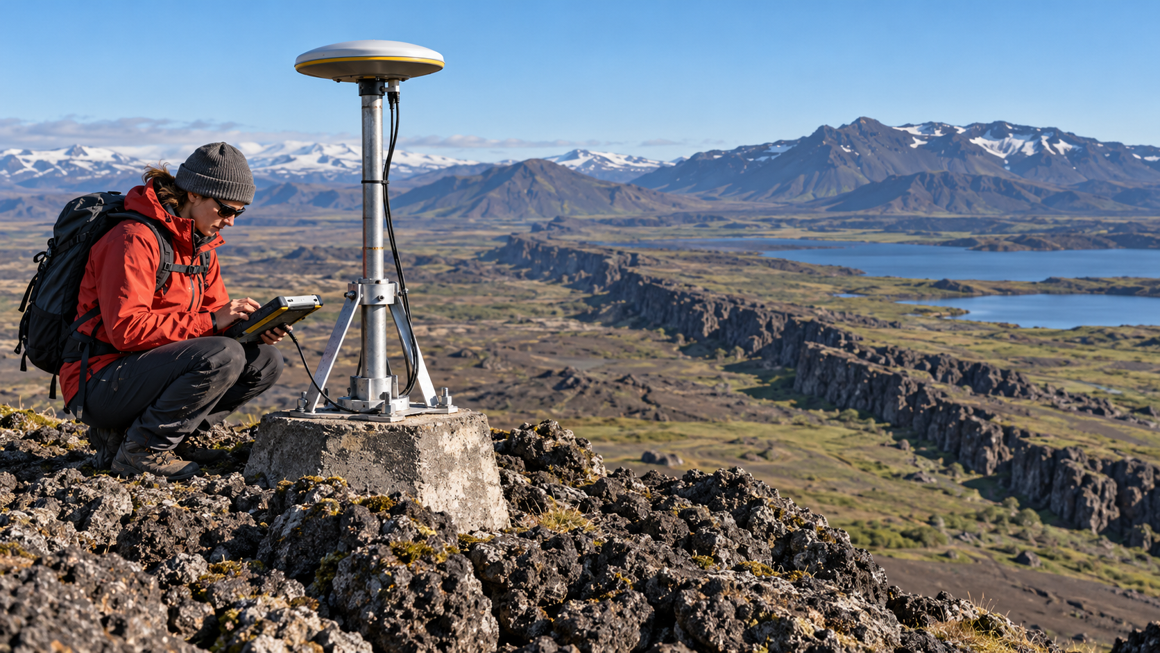
The same satellite-navigation system used for directions can measure tectonic motion when receivers and analysis are built for geodesy. A permanent station anchors an antenna firmly to bedrock or a stable monument. It records radio signals from multiple satellites for long periods. Each signal includes precise timing and information about the satellite’s orbit.
Because radio waves travel at the speed of light, a receiver estimates distance from the travel time. Several satellites provide the geometry needed to solve for the antenna’s three-dimensional position and clock error. Geodetic processing also uses the signal’s carrier phase, which can resolve changes far smaller than the several-meter accuracy of an ordinary phone position.
One position is not plate velocity. Researchers calculate daily or weekly coordinates in a consistent reference frame and fit a trend over years. If a station moves eastward by a few centimeters each year relative to a stable global frame, the slope of that position-time series records its velocity. Networks show how neighboring stations move together or deform near boundaries.
The atmosphere delays radio signals, satellite orbits and clocks are imperfect, antennas can shift, snow can load monuments, and groundwater changes can move the land seasonally. Analysts model these effects, compare multiple frequencies, inspect equipment changes, and estimate uncertainty. Long records help separate persistent plate motion from temporary noise and seasonal cycles.
Earthquakes appear as sudden offsets in station position. Aftershocks and slow postseismic flow can continue for months or years. Between earthquakes, gradual strain may accumulate as faults remain locked. Some faults also creep, and some plate boundaries produce slow-slip events that unfold too gradually to feel but are clear in dense GPS networks.
Measured velocities are commonly millimeters to centimeters per year, comparable to the growth rate of fingernails. Over geologic time those rates rearrange continents and oceans. GPS does not directly see deep mantle flow or guarantee an earthquake forecast. It measures surface motion, which scientists combine with seismology, geology, and physical models to understand tectonic processes.
A geodetic antenna records precise timing and carrier-phase signals from many navigation satellites.
Satellite geometry and a global reference frame yield repeated three-dimensional station coordinates.
A trend fitted across years reveals velocity at millimeter-to-centimeter-per-year scales.
Atmospheric delay, orbit error, equipment changes, water, snow, and seasonal motion must be corrected or modeled.
Earthquakes create offsets, while fault locking, creep, and slow slip shape motion between major events.
GPS measures surface deformation and works best when combined with seismic, geologic, and physical evidence.
Explore more "Explainers"
Discover additional explainers across politics, science, business, technology, and other fields. Each explainer breaks down a complex idea into clear, everyday language—helping you better understand how major concepts, systems, and debates shape the world around us.