

How Clouds Form and Produce Rain Explainer
A cloud is a visible collection of tiny water droplets, ice crystals, or both suspended in air. It usually forms when moist air rises, expands under lower pressure, and cools. Once the air reaches saturation, water vapor condenses faster than it evaporates. Cooling can also occur near cold surfaces or where air masses mix, but rising motion is a common route.
Condensation needs microscopic cloud condensation nuclei such as sea salt, dust, smoke particles, or sulfates. Water gathers on these surfaces more readily than identical vapor molecules assemble alone. A typical cloud droplet remains extremely small and falls so slowly that weak upward air motion can keep it aloft. A cloud therefore does not automatically produce precipitation.
In warmer clouds, larger droplets fall slightly faster and collide with smaller ones. If collisions lead to coalescence, the drops grow and sweep up more water. In cold or mixed-phase clouds, ice crystals can grow at the expense of nearby supercooled liquid droplets because equilibrium vapor conditions differ. Crystals may aggregate or collect droplets before falling and melting into rain below.
Updraft strength, liquid and ice content, temperature depth, turbulence, and time determine how large particles become. When their downward settling speed and weight overcome the supporting air motion, precipitation leaves the cloud. Falling drops can collide, break apart, freeze, or evaporate in dry air, so radar echoes aloft do not guarantee rain at the ground.
Condensation releases latent heat, making rising cloudy air cool more slowly than unsaturated air and helping some updrafts continue. Yet cloud edges constantly mix with drier surroundings, where droplets evaporate. This competition gives clouds their changing shape. Mountain lifting, fronts, surface heating, and low-pressure systems provide different large-scale reasons for air to rise.
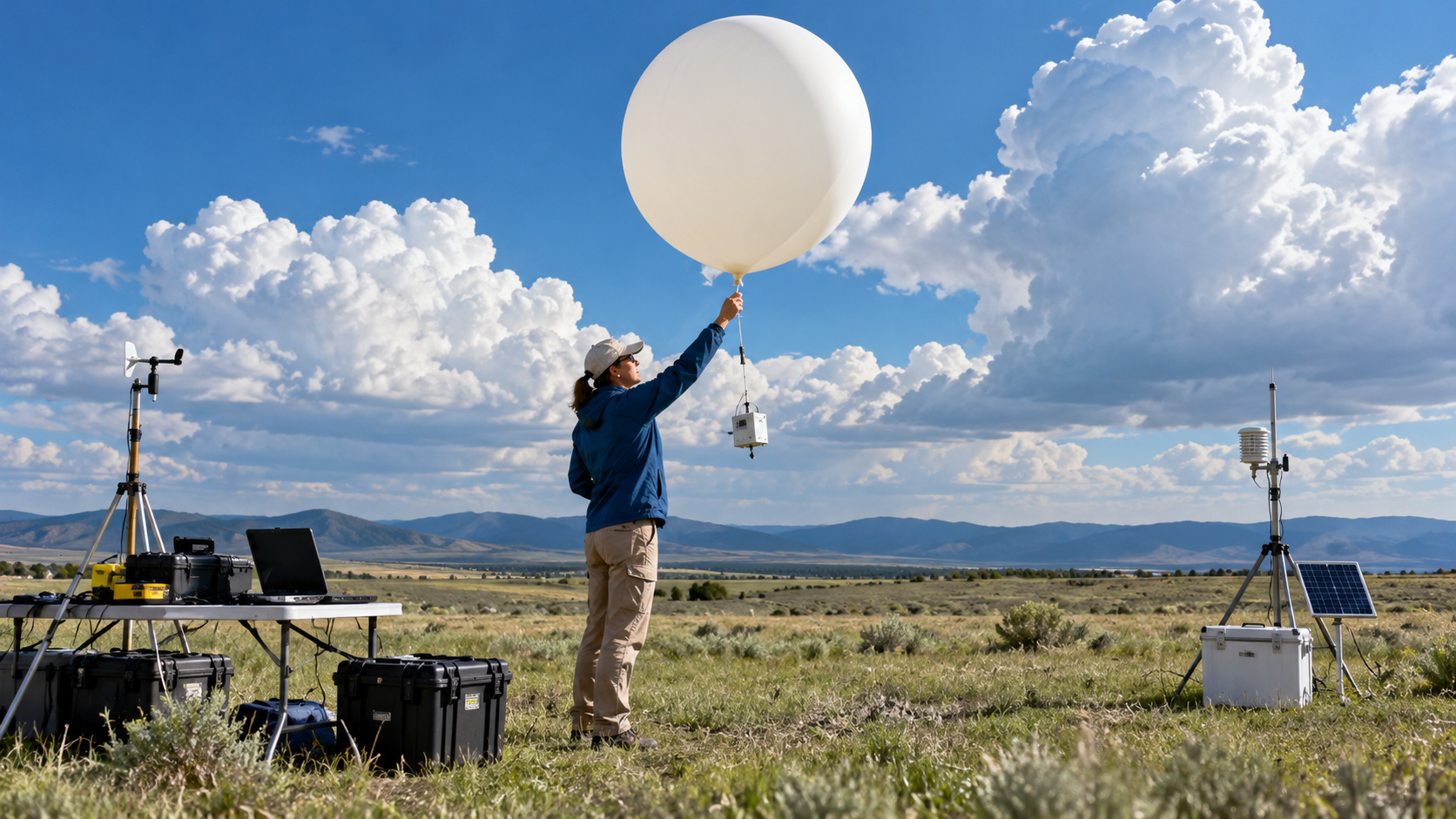
Satellites, radar, aircraft, balloons, and ground instruments observe clouds, but individual droplets are far smaller than many weather-model grid cells. Models therefore approximate cloud microphysics and convection. These processes matter because clouds redistribute water and heat, alter sunlight and infrared radiation, and link local air motion to floods, drought, storms, and climate.
Rising moist air expands, cools, and may reach saturation.
Water condenses on microscopic aerosol particles to make cloud droplets.
Warm-cloud collision and cold-cloud ice processes grow precipitation particles.
Drops must outgrow updraft support and may evaporate before reaching the ground.
Latent heat, mixing, and large-scale lifting continually reshape a cloud.
Models approximate many cloud processes that instruments cannot sample everywhere.
Explore more "Explainers"
Discover additional explainers across politics, science, business, technology, and other fields. Each explainer breaks down a complex idea into clear, everyday language—helping you better understand how major concepts, systems, and debates shape the world around us.