

How Atmospheric Rivers Transport Water Explainer
An atmospheric river is a long, relatively narrow corridor of strong horizontal water-vapor transport. Winds carry moist air from lower latitudes and ocean regions, concentrating a large share of the atmosphere’s moisture movement into a band. The mechanism links local conditions to larger circulation, chemistry, or geologic structure.
The defining quantity combines how much vapor is present through the depth of the atmosphere with wind speed and direction. A plume can therefore transport substantial water even before clouds and precipitation make it obvious in ordinary imagery. Water, heat, rock, and air move along gradients, but terrain and timing shape the route.
Large-scale pressure patterns and jet-stream flow steer the corridor. When moist air reaches a coast or mountain range, it is forced upward, cools, and condenses, converting transported vapor into rain or snow and releasing latent heat. Feedbacks can strengthen or weaken the process, which is why similar settings do not produce identical outcomes.
Atmospheric rivers range from beneficial water-supply events to damaging storms. Duration, direction, moisture content, freezing level, terrain, soil saturation, and the sequence of preceding storms determine whether runoff replenishes reservoirs or produces flooding and landslides. Observations must cover enough space and time to distinguish a persistent pattern from a brief event.
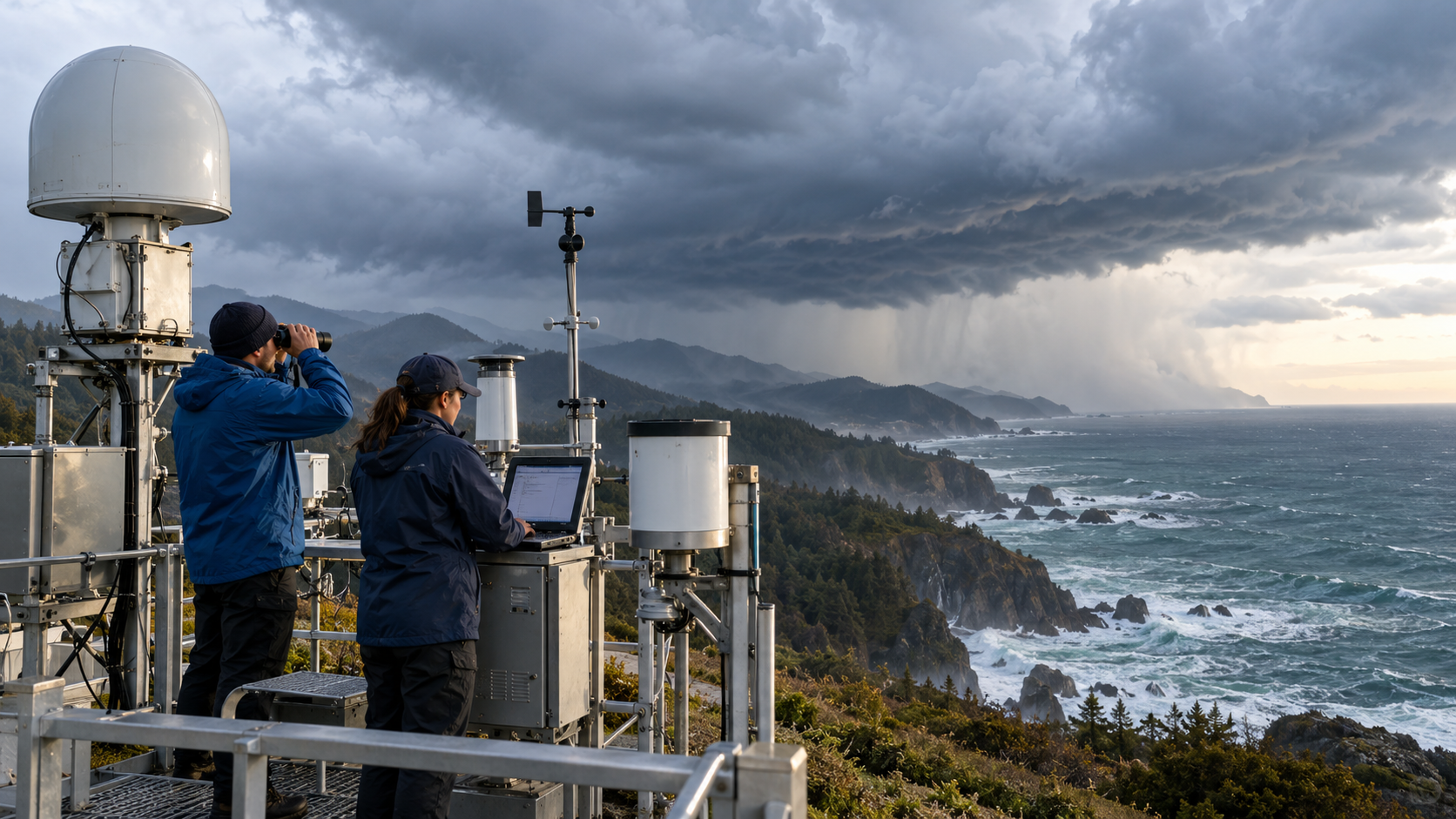
Satellites measure water vapor over oceans, while aircraft, balloons, radars, buoys, and ground stations observe winds and precipitation. Forecast models combine these data to estimate landfall timing, integrated vapor transport, snow level, and watershed effects. Researchers combine field instruments, remote sensing, samples, and models because no single view captures every stage.
The term describes transport geometry, not a liquid river in the sky and not every heavy-rain system. Clear definitions and graded intensity scales help researchers compare events while acknowledging uncertainty in their exact path and local impact. The explanation is strongest when those independent lines of evidence agree within measured uncertainty.
Winds concentrate water vapor into a long, narrow corridor.
Integrated vapor transport combines moisture amount with wind.
Large-scale weather patterns steer the corridor toward land.
Rising air cools and converts vapor into rain or snow.
Terrain and antecedent soil conditions shape local impacts.
Satellites and in-air observations improve landfall forecasts.
Explore more "Explainers"
Discover additional explainers across politics, science, business, technology, and other fields. Each explainer breaks down a complex idea into clear, everyday language—helping you better understand how major concepts, systems, and debates shape the world around us.