

How Lake-Effect Snow Forms Explainer
Lake-effect snow develops when a cold air mass moves across a comparatively warm, unfrozen lake. Heat and water vapor transfer from the surface into the lowest atmosphere, making the air less stable and supplying moisture for clouds. The mechanism links local conditions to larger circulation, chemistry, or geologic structure.
The air must travel far enough over open water, a distance called fetch, to build deep convective rolls or bands. Wind direction controls which shoreline receives snow and whether one persistent band or many smaller bands form. Water, heat, rock, and air move along gradients, but terrain and timing shape the route.
As moist air reaches land and higher terrain, friction and upslope motion add lift. The air cools, water vapor deposits onto ice crystals, and narrow snow bands can produce sharply different totals only a short distance apart. Feedbacks can strengthen or weaken the process, which is why similar settings do not produce identical outcomes.
Temperature difference, inversion height, wind shear, lake shape, ice cover, and upstream moisture all matter. Strong directional shear can disrupt an organized band, while extensive ice reduces heat and vapor exchange from the lake. Observations must cover enough space and time to distinguish a persistent pattern from a brief event.
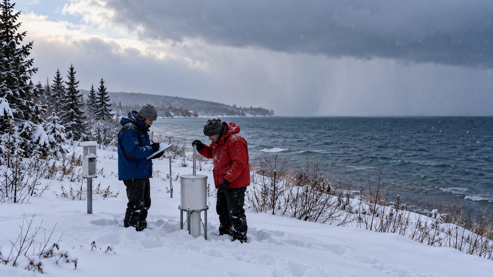
Radar tracks band position and intensity, satellites show cloud streets, and shoreline stations measure temperature, wind, and snowfall. Forecasting remains difficult because a small wind shift can move the heaviest snow across communities and transportation routes. Researchers combine field instruments, remote sensing, samples, and models because no single view captures every stage.
Lake-effect snow is distinct from a broad storm system, though both can occur together. It usually weakens inland as the surface moisture source disappears, yet terrain can prolong snowfall and concentrate it in favored downwind areas. The explanation is strongest when those independent lines of evidence agree within measured uncertainty.
Cold air moves over relatively warm open lake water.
Surface heat and evaporation destabilize and moisten the air.
Sufficient fetch organizes clouds into convective bands.
Land friction and terrain lift the air farther.
Ice crystals grow and fall in narrow downwind zones.
Wind shifts can rapidly relocate the heaviest snowfall.
Explore more "Explainers"
Discover additional explainers across politics, science, business, technology, and other fields. Each explainer breaks down a complex idea into clear, everyday language—helping you better understand how major concepts, systems, and debates shape the world around us.