

On This Day in Science: February 4, 1967
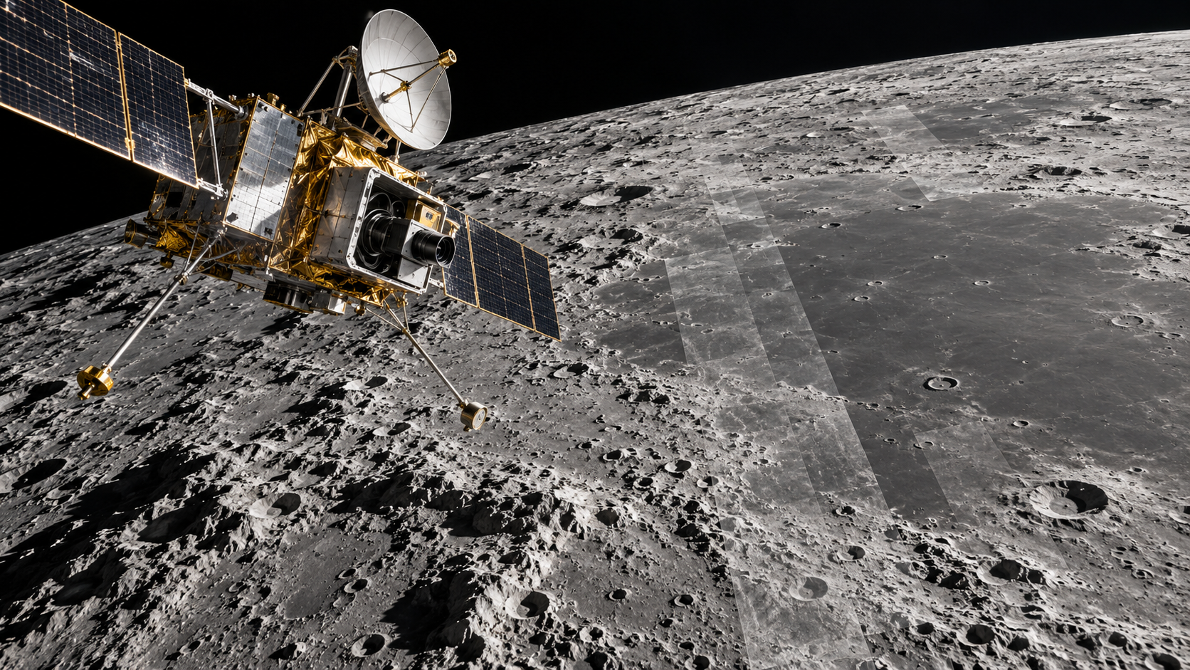
On February 4, 1967, NASA launched Lunar Orbiter 3 from Cape Kennedy aboard an Atlas-Agena rocket. Its assignment was precise: photograph areas that earlier missions had identified as possible landing sites for Apollo astronauts and return measurements that would improve knowledge of the Moon’s gravity and radiation environment. Reaching the lunar surface was no longer the only challenge. Planners needed terrain flat enough for a crewed lander, free of large hazards, and positioned so navigation, communications, and mission timing would work. Orbiter 3 was designed to turn promising regions into evidence-based choices.
The spacecraft entered lunar orbit four days after launch and later moved into a low, elliptical photographic orbit. Its imaging system used photographic film, an onboard processor, and a scanner that converted developed frames into radio signals. That elaborate arrangement produced detail far beyond ordinary television cameras of the period. Orbiter 3 exposed 211 frames and returned most of them before a film-advance problem halted readout. The pictures covered millions of square miles on the near side and a substantial region of the far side, including views of robotic Surveyor hardware already on the surface.
Stereo pairs and overlapping frames helped specialists judge slopes, craters, boulder fields, and approach paths. The mission also provided tracking data used to refine the Moon’s uneven gravitational field, knowledge that mattered to future orbiters and landing trajectories. By this stage NASA was operating Lunar Orbiter 2 at the same time, giving ground teams useful practice communicating with more than one spacecraft around the Moon. The work linked photography, geodesy, flight dynamics, and operations into a single reconnaissance system for Apollo.
Despite the film mechanism failure, NASA considered the mission objectives fulfilled. Images from the first three Lunar Orbiters supported the selection of eight preliminary Apollo landing sites by April 1967. Among them was a Sea of Tranquility location that later became the landing area for Apollo 11. Lunar Orbiter 3 therefore influenced history from a distance: it never descended, collected samples, or carried people, but it reduced uncertainty before others did. Its mission illustrates a central role of scientific mapping. Exploration advances when broad possibility is converted into measured terrain, quantified risk, and a route that engineers can defend. Its place on the calendar is therefore useful as an entry point, not an endpoint. The people involved worked with the instruments, assumptions, and social conditions of their time, and later research has both extended and corrected their conclusions. Reconstructing the event carefully means separating what was known that day from what became clear afterward. That distinction protects the history from myth while showing how cumulative evidence turns a memorable episode into lasting scientific knowledge.
Lunar Orbiter 3 photographed candidate Apollo landing regions from a low elliptical orbit.
Its film was developed aboard the spacecraft and scanned for radio transmission back to Earth.
Overlapping images helped analysts evaluate slopes, craters, rocks, and safe approach corridors.
Tracking and radiation measurements also improved planning for later spacecraft and crews.
A film-advance malfunction prevented some images from being read, but the mission still met its primary objectives.
The first three orbiters supplied evidence used to narrow the list of preliminary Apollo landing sites.
Explore more of "On This Day ..."
Discover more events from the same date across news, politics, technology, sports, and other fields. Each link highlights significant moments that shaped history on different fronts.